Day Twenty One: Post Falls to Everett
Whew. 10,157 miles door to door. (At least I got a ten day break; my friend's been traveling for five weeks now!) Tomorrow I fly back to DC...
We left Post Falls a bit later than usual, since we'd stayed at a B&B last night. But we'd decided to take I-90 all the way instead of US 2, so the drive wouldn't be as long.
We crossed into Washington almost right away - the Idaho panhandle is narrow.

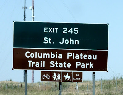
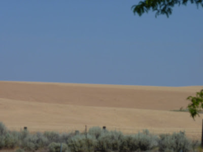
The part of Washington after Spokane looks different from the rest of the state - it's the Columbia plateau, and there's corn and potatoes and wheat fields among the sage desert. I saw a lot of red-tailed hawks, but 70mph isn't conducive to photos of flying birds - or even birds perched on a railing.
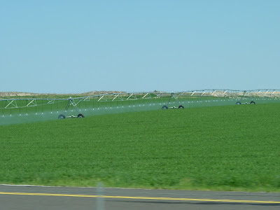
Potatoes with a center-pivot irrigation machine - I sure saw a lot of those in the hot, dry states.
This is Moses Lake.

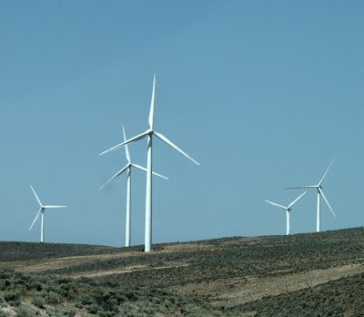
This is Puget Sound Energy's Wild Horse Wind and Solar and Priest Rapids Hydro Power complex. It's pretty stunning.

This little guy sounded exactly like a phone ringing. I'm not sure what he is - he looks like a wren, but he doesn't match anything in my book... Edited to add: He's a rock wren.

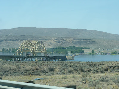
Here's the floating bridge over the Columbia at the end of the lake.
Here's the wind part of that complex - or part of it; there are 149 turbines in all.
The sign on the side of the interstate read "Mount Rainier in the distance"

Here's the approach to Snoqualmie pass in the Cascades

And the Seattle skyline





0 Comments:
-
<-- Older Post ^ Home Newer Post -->Post a Comment
Subscribe to Post Comments [Atom]